
PHASE THREE: ALTERNATIVE CONCEPT & FINAL RECOMMENDATIONS

OVERVIEW
PUBLIC COMMENT SUMMARY REPORT
The Phase Three Public Comment Summary Report provides a detailed view of public outreach activities and comments received through all outlets during the third phase of the Bright 74 Study (July 23, 2016 through October 14, 2016). The public role is advisory in order to help the Study Team understand usage and values to guide study decisions. The outcome of Phase Three is to have the public’s and Advisory Committee’s input for consideration when finalizing the Study Recommendations. The Study’s Alternatives Evaluation Report (Final Report) with the Study Recommendations will be posted to this page in November 2016.
Click HERE for the Public Comment Summary Report for Phase Three. The appendices mentioned in the report can be opened by clicking the below individual links:
- Appendix A – Conceptual Solutions Report
- Appendix B – Alternative Concept and Recommendations
- Appendix C – Cost and Impact Estimates Chart
- Appendix D – Enhanced Maintenance
- Appendix E – North Dearborn Road Improvements
- Appendix F – Whites Hill Road Improvements
- Appendix G – SR 46 and US 52
- Appendix H – Future Evaluation of Other Existing Roads Used to Access the Interstate, Not Included in the Scope of this Study
- Appendix I – Open House Flyer
- Appendix J – All 568 Surveys Received (PLEASE NOTE the surveys are numbered in this file from 1 to 267 and 1 to 301 rather than 1 to 568. Due to Survey Monkey’s file size limitations, we had to download all survey responses as two files, which we then merged into one file for ease of viewing. The file presents all 568 surveys as they were chronologically received via the online survey, as well as the additional 64 surveys that were completed via the electronic poll at the September 14, 2016 Public Open House and the 34 paper surveys that were collected from the North Dearborn Public Library. The electronic poll files and paper surveys were inputted into Survey Monkey by OKI staff the mornings of October 17 and 18. Hence, the total survey tally of 568).
Concept 1 – Improve Existing Roads Has 3 Components
Component 1 – Enhanced Maintenance of North Dearborn and Whites Hill Roads
Based on available information, there are several items which could improve safety, operations and driver experience on North Dearborn and Whites Hill Roads that can be implemented at a relatively low cost.
The location and limits of specific maintenance items will need to be identified during a detailed field survey of existing conditions. The detailed field survey is beyond the scope of this Study. In general, pavement conditions along existing North Dearborn, Whites Hill, SR 46 and US 52 are in good to fair condition with no significant base failures noted. There are locations where the shoulders do show signs of stress and may require base repair or subgrade stabilization.
The following maintenance items could be implemented on a corridor wide basis following more detailed inventory of site specific conditions. These items can be implemented in phases or separate projects as funding permits and could be combined with other County routes inside or outside of the Study Area.
Widen for shoulders where possible
Most roadway segments along North Dearborn and Whites Hill Roads have little or no shoulder. Based on INDOT 3R design criteria, the preferable usable shoulder width should be 6 feet with a 2 foot paved width minimum. At a minimum, any two lane rural road with the traffic volumes in the Study Area should have a one foot shoulder. Existing obstructions and roadside conditions would require regrading and potential utility relocations to provide a consistent 6 foot useable shoulder, however it appears that providing a 2 foot paved shoulder should be feasible in most locations with minimal grading. The ability to widen for adequate shoulders varies by location.
Remove Roadside Obstructions (trees, poles, fences etc.)
Similar to the existing shoulders there are some locations where obstacles are located within the obstruction free zone. The obstruction-free zone is defined as the roadside area next to the travel way which should be free from hazards or obstructions. Each obstacle within the obstruction-free-zone limits should be removed, made breakaway or shielded with guardrail. The obstruction-free-zone width for an LPA rural collector is 8 feet. It may not be feasible to remove all obstructions (particularly existing overhead utilities) depending on costs associated with the relocation.
Add mailbox turnouts
As noted previously, mailboxes are generally located within the obstruction-free-zone. Depending on the construction, mailbox supports can pose a hazard to errant vehicles. Each new mailbox installation should be placed in accordance with the INDOT Standard Drawings, INDOT Standard Specifications, and Section 51-11.0. If additional spacing is required for mailbox placement, mailbox turnouts can be provided to allow for mail carrier and resident access. Mailbox turnouts also provide additional clearance to avoid mail carriers during delivery.
Repair, Replace or add guardrail as needed
There are several locations where existing guardrail may not meet current INDOT design criteria at the northern end of White Hill Road, however it may not be feasible to provide an adequate clear zone. It is recommended that a comprehensive inventory of existing guardrail be done to determine if it is accordance with the current safety performance and design criteria provided in the INDOT Design Manual Chapter 49 and the INDOT Standard Drawings. It may be necessary to acquire right of way from the abutting property owners to install the required guardrail. The minimum guardrail offset distance is 4 feet from the edge of the travel way.
Improve signage
It is recommended that a comprehensive inventory and conditions assessment be developed for the existing regulatory signage on North Dearborn and Whites Hill Roads. Reflectivity for some signs appears to be substandard. A sign should be used only where it is warranted by the Indiana Manual on Uniform Traffic Control Devices (IMUTCD) criteria, accident history or field studies. A sign should provide information for a regulation, a hazard which is not self-evident, or a highway route, direction, destination, or point of interest. To improve wayfinding and accessibility, the installation of Interstate 74 directional signs at critical intersections (State Line and North Dearborn Roads, North Dearborn and Whites Hill Roads, Gaynor Ridge and Whites Hill Roads, and Whites Hill Road at SR 46) should be considered given that these routes carry an appreciable percentage of interstate bound traffic. Likewise, guide signs for Bright could be installed at the same intersections in the opposite directions to guide travelers from the Interstate.
Address drainage or slippage
Based on visual observation and comments from stakeholders and the public, there are areas that have experienced roadside slippage or drainage issues. Most commonly, roadside side slopes and ditches have experienced either erosion or deposition of debris and materials leading to inadequate capacity to convey runoff during rain events. The resulting slippage or wet weather flows across roadways or into adjacent property and can present hazards to motorists resulting in potential damage to private property. As noted previously, some culverts or ditches can result in obstructions or roadside hazards. Site specific drainage inventories or hydraulic analysis has not been conducted as part of this Study. It is recommended that an inventory of existing culverts and roadside ditches be done to evaluate the need for ditching, culvert repairs or other maintenance to improve drainage and roadside safety.
Component 2 – North Dearborn Road Improvements
and
Component 3 – Whites Hill Component
It is recommended that all maintenance items listed above would be performed on the existing roads in addition to the more long-term, geometric improvements included in Concept 1: Components 2 and 3 described below.
Components 2 and 3 correct existing geometric deficiencies generally along the existing alignment of North Dearborn Road between State Line Road and Whites Hill Road as well as Whites Hill Road from its intersection with North Dearborn Road to its terminus at SR 46. The proposed improvements include straightening horizontal curves in selected locations, flattening or lengthening of substandard vertical curves and intersection realignment as noted below. Locations of proposed straightening of the existing curves and intersection improvements are provided on two exhibits titled Concept 1: Component 2 – North Dearborn Road Improvements and Concept 1: Component 3 – Whites Hill Road Improvements.
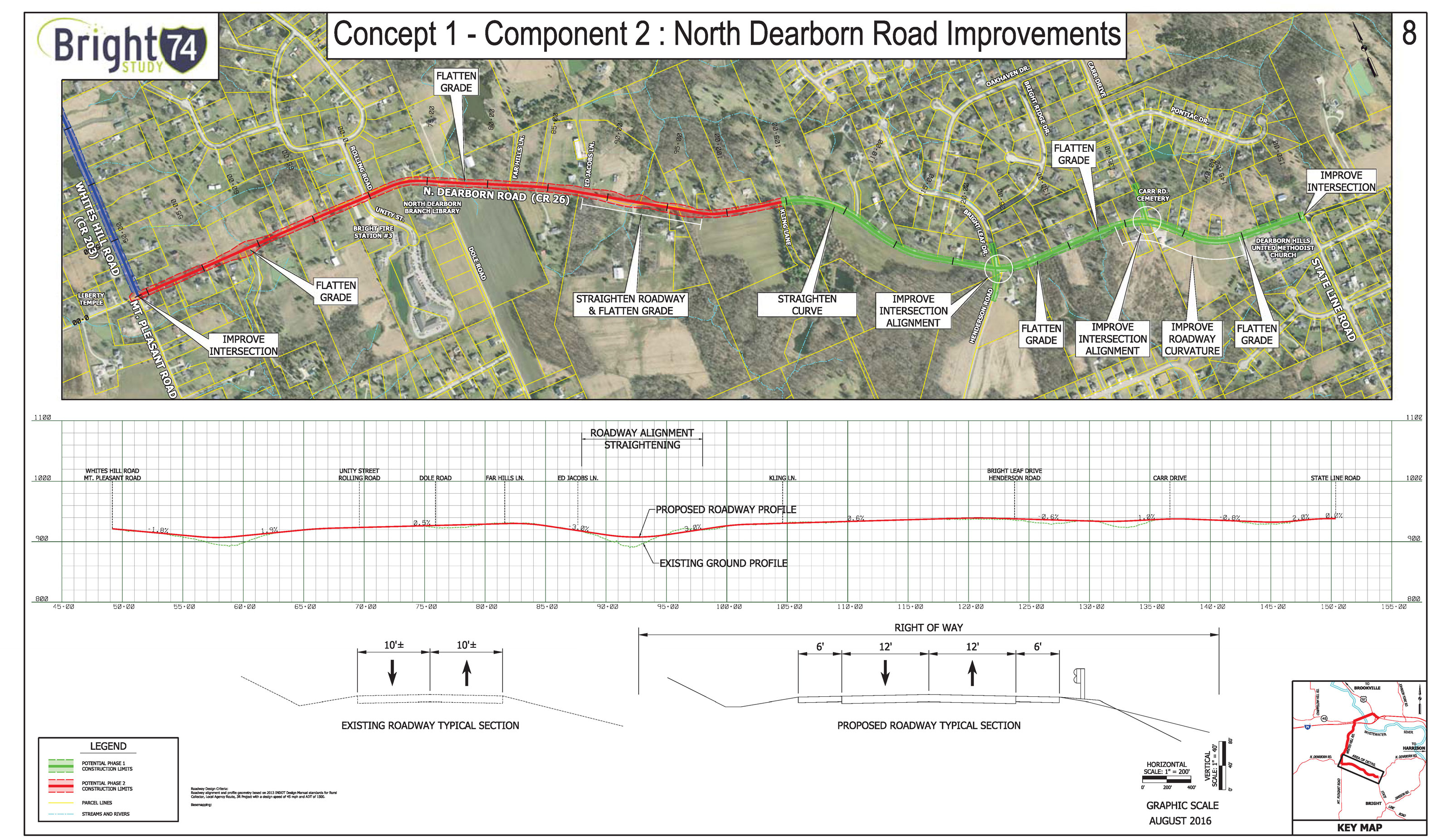
Concept 1: Component 2 – North Dearborn Road Improvements
Please click on the green text above for a pdf map that will permit you to zoom in and out for better viewing. From east to west along North Dearborn Road the following improvements were identified.
- Straighten the reverse curves located between State Line Road and Carr Road including minor realignment of the intersection of Carr Road and North Dearborn Road. These curves currently have an advisory speed of 25 mph and have limited sight distance especially from some adjacent driveway locations.
- Straighten the horizontal curve in the vicinity of the intersection of Henderson Road and Bright Leaf Road including realignment of the intersection to eliminate the offset of the two side road approaches. Some pavement stress was noted in this area. Complete pavement reconstruction may be beneficial within the limits of the reconstructed curve.
- Straighten the horizontal curve located east of the intersection of Kling Lane.
- Although not shown on Figure 2, Concept 1 would also straighten the reverse horizontal curves and flatten vertical curves located approximately 1500 feet east of the intersection of North Dearborn and Dole Roads.
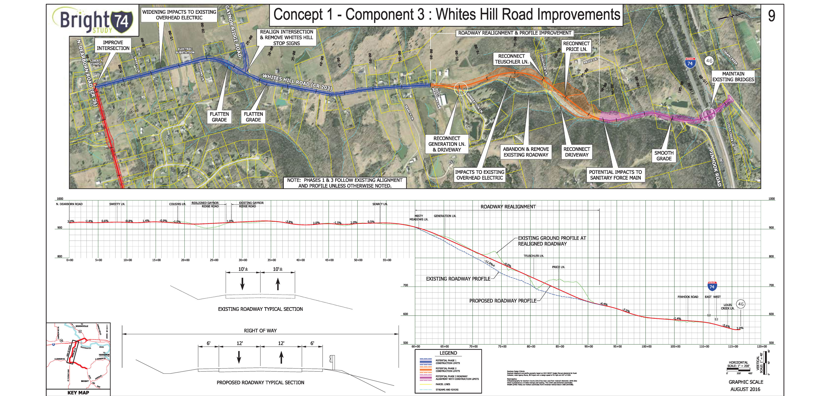
Concept 1: Component 3 – Whites Hill Road Improvements
Please click on the green text above for a pdf map that will permit you to zoom in and out for better viewing. From south to north along Whites Hill Road the following improvements have been included in Concept 1.
- Straighten horizontal curve located approximately 1000 feet south of the intersection of Gaynor Ridge Road and Whites Hill Road. Realign Gaynor Ridge Road to reduce the skew at its intersection with Whites Hill Road.
- Realign an approximately 2,000 foot long section of Whites Hill Road south of Price Lane to eliminate reverse curves and flatten grades to a nine percent maximum. The realigned roadway will be located west of the existing alignment. The proposed alignment and profile will be refined during the next phase of the Study to avoid an electrical transmission line and incorporate revised access to adjacent property in this area as well as to coordinate with potential phasing of Concept 2 – Whites Hill Connector more fully described below, if the concept is advanced for further Study consideration.
Other General Recommendations
In addition to Concept 1’s three components, the Study Team recommends including three other general recommendation based on public input and existing roadway conditions. There are two Exhibits that show these recommendations titled Other General Recommendations: SR 46 and US 52 and Other General Recommendations: Future Evaluation of Other Existing Roads Used to Access the Interstate, Not Included in the Scope of This Study.
Please click on the green text above for a pdf map that will permit you to zoom in and out for better viewing. Based on review of the existing roadway network between the Bright Area and I-74, the Study Team proposes that the two general improvements below to state roadways be included in Study’s Final Recommendation.
- Replace SR 46 bridge over Whitewater River. The Indiana Department of Transportation (INDOT) reports that the current bridge is in fair condition and structurally sound, but is considered functionally obsolete due to substandard shoulders and roadside barriers. While not an immediate need, the bridge is a candidate for replacement in approximately 20 years.
- Improve sight distance on US 52 East of SR 46. A hump in the road results in visual impairment for drivers at the westbound I-74 ramps at US 5
Please click on the green text above for a pdf map that will permit you to zoom in and out for better viewing. Based on public input received, the Study Team recommends future evaluation of existing roads that link the Bright Area with other interstate interchanges. Future evaluation would identify potential transportation improvements needed for these other roadways.
- North Dearborn Road (between Whites Hill Road and SR 1)
- North Dearborn Road (east of State Line Road)
- Jamison Road
- Sand Run Road (between State Line Road and the Ohio border)
Recommendation: Cost and Impact Estimates
A chart is provided to show of the estimated environmental and property impacts, travel times, traffic volumes, and range of estimated construction costs for each component of the recommendation (open the chart by clicking the green “chart” text).
September 22, 2016 PUBLIC OPEN HOUSE

September 22nd Public Open House Notice
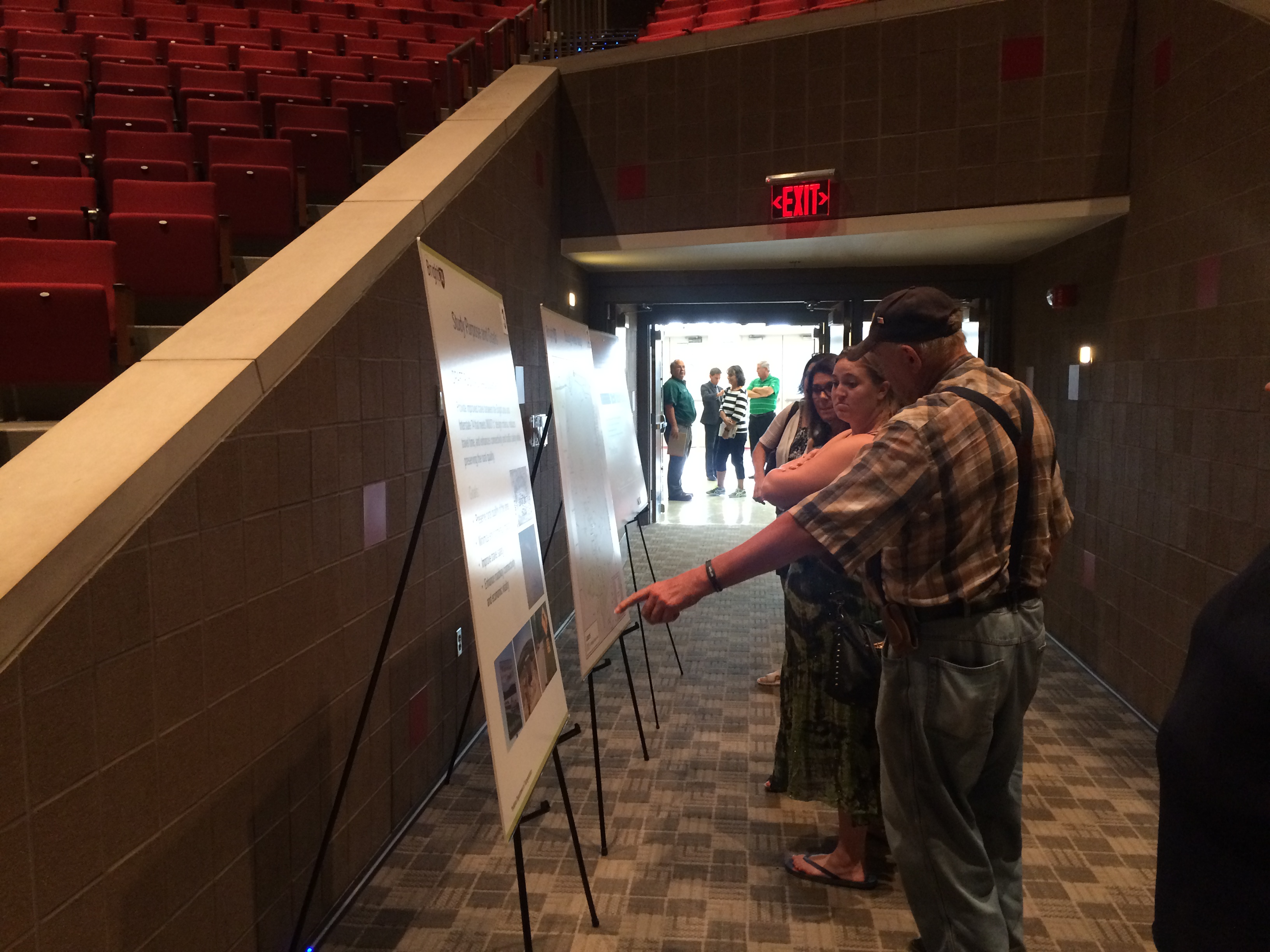
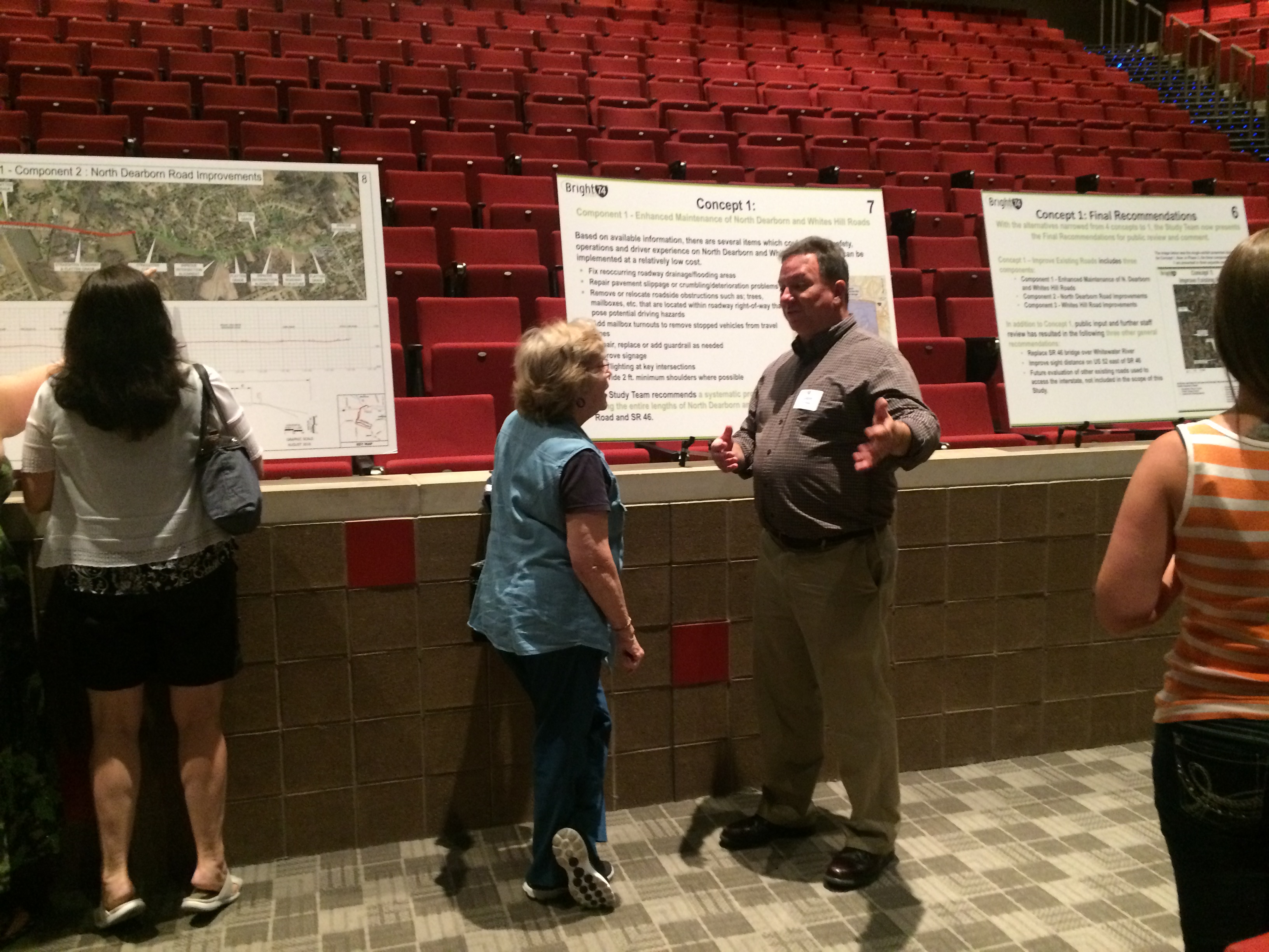
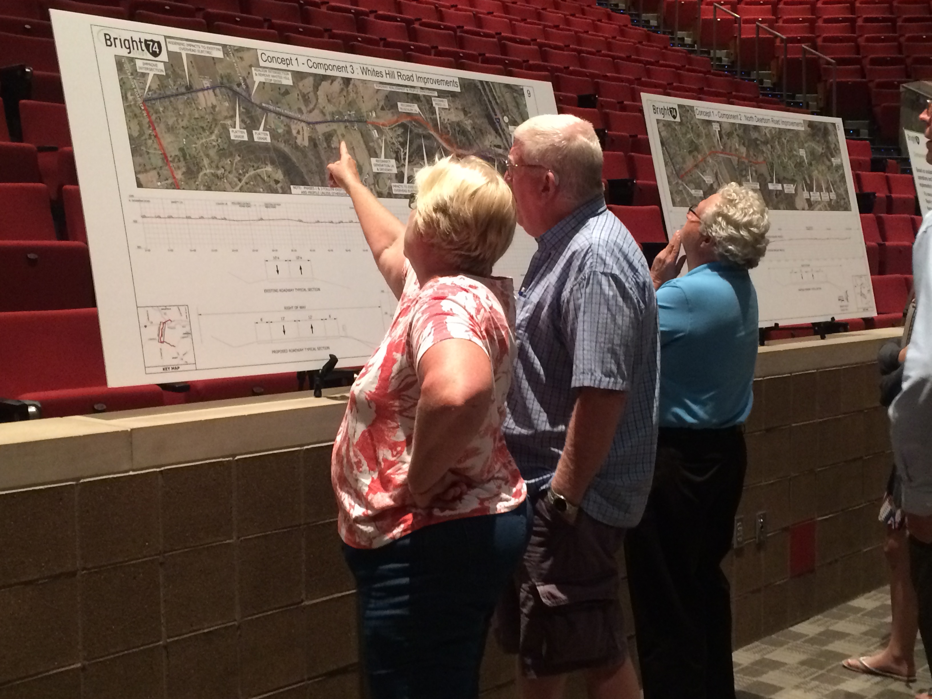
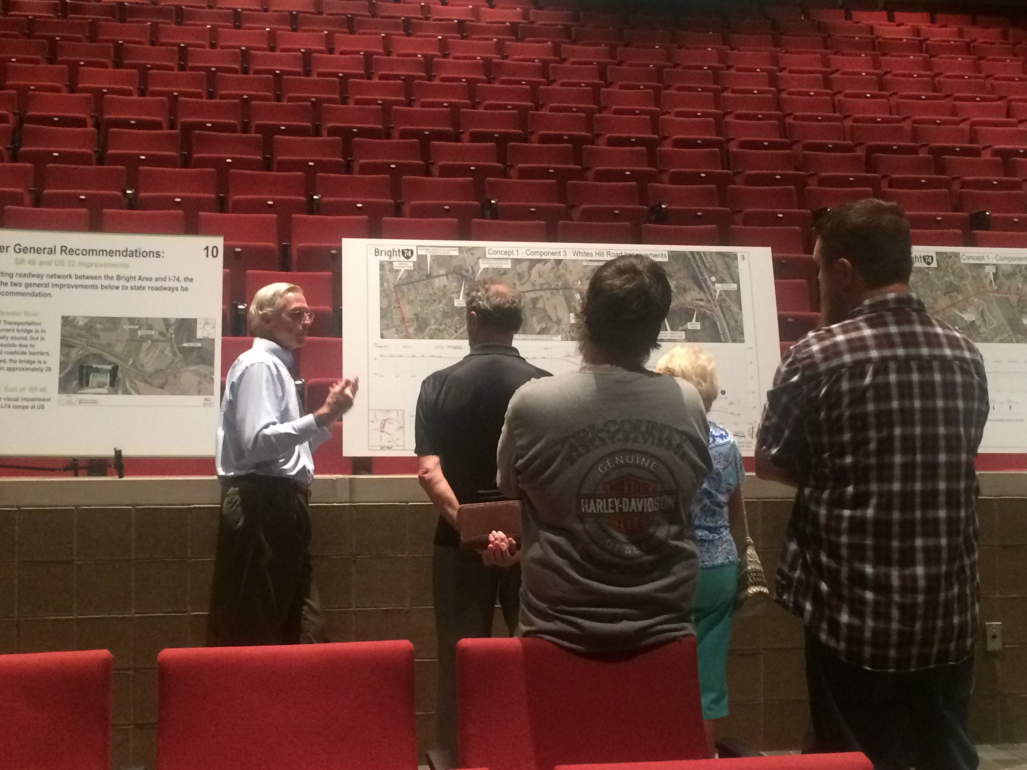
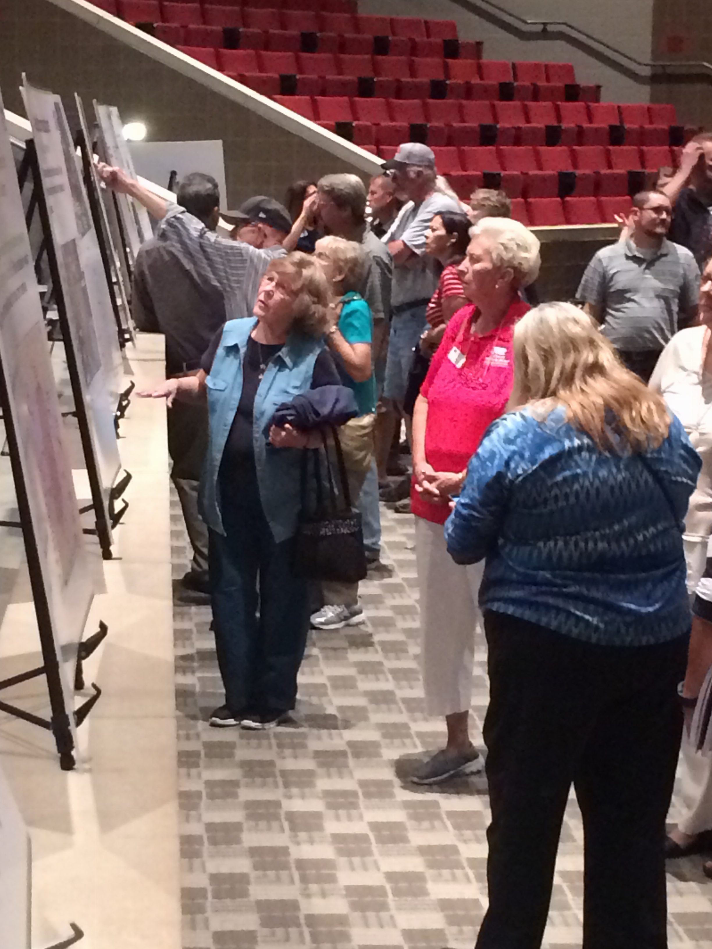
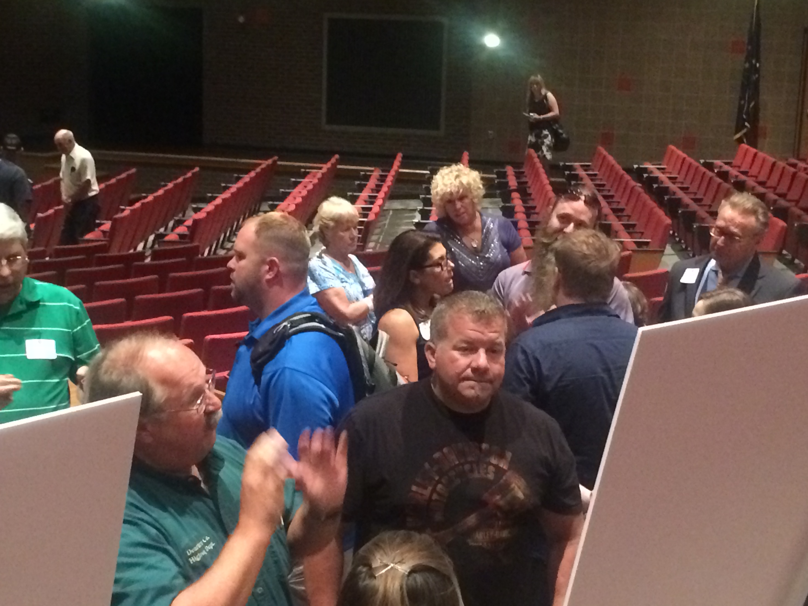
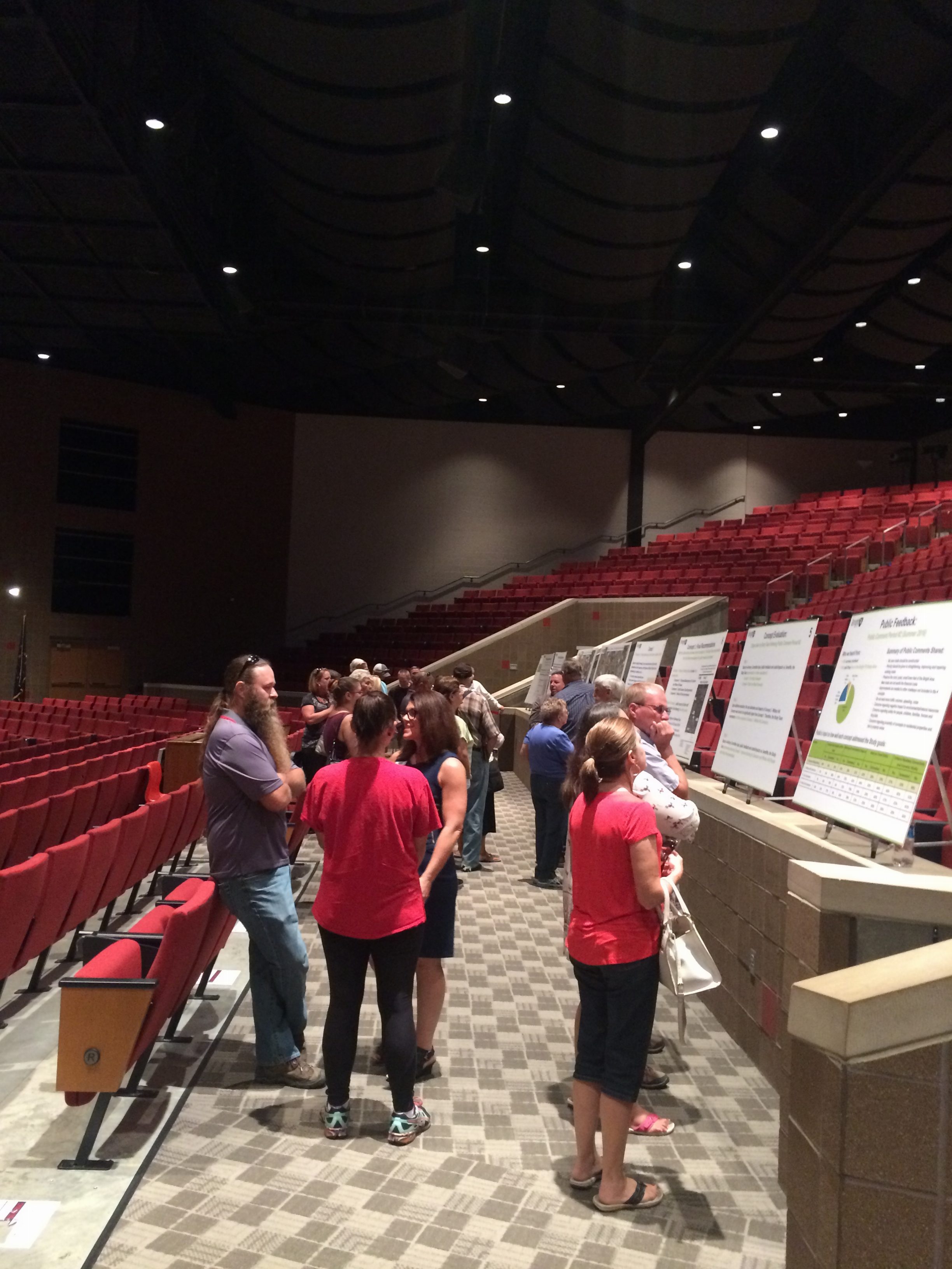
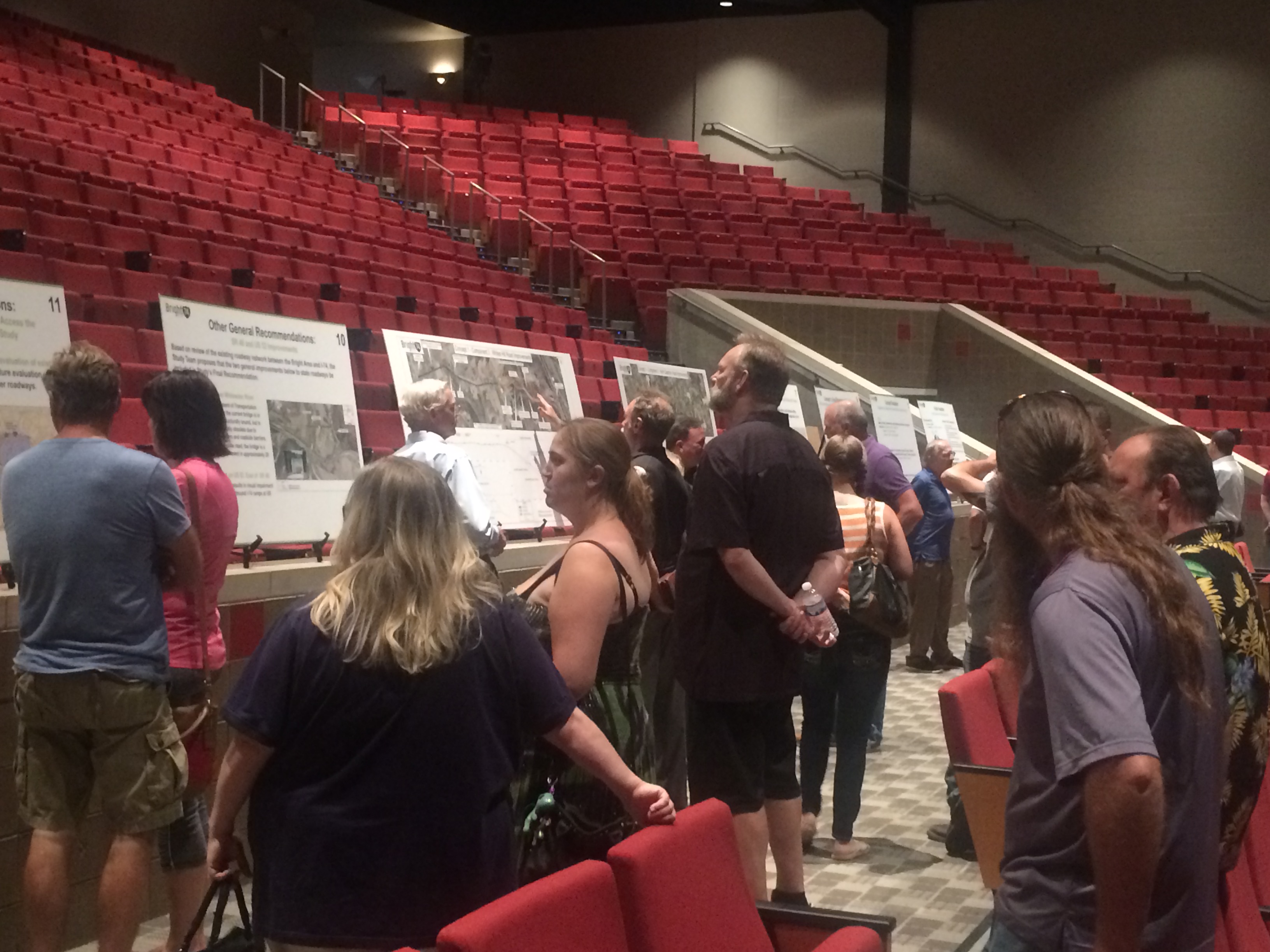
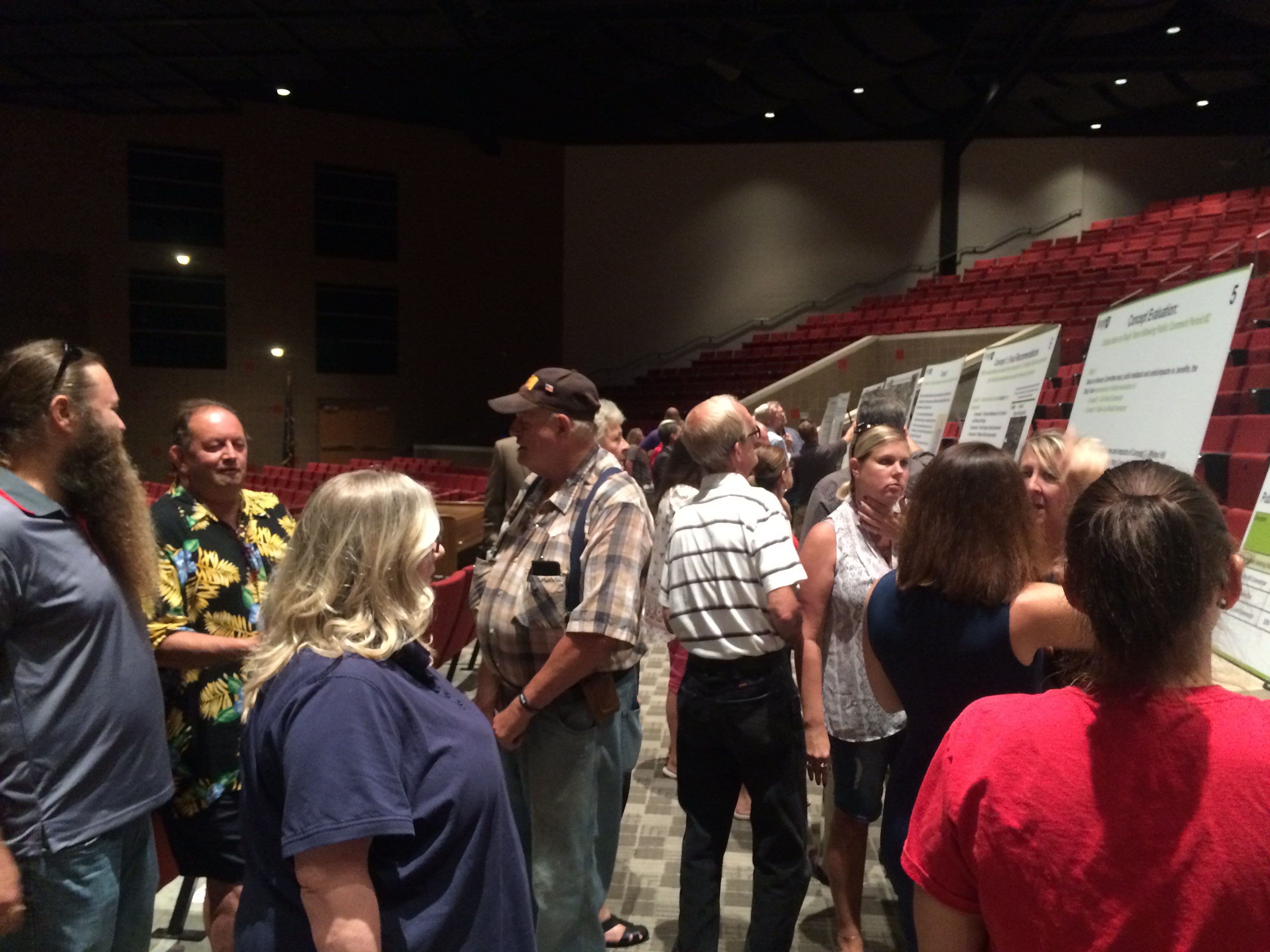
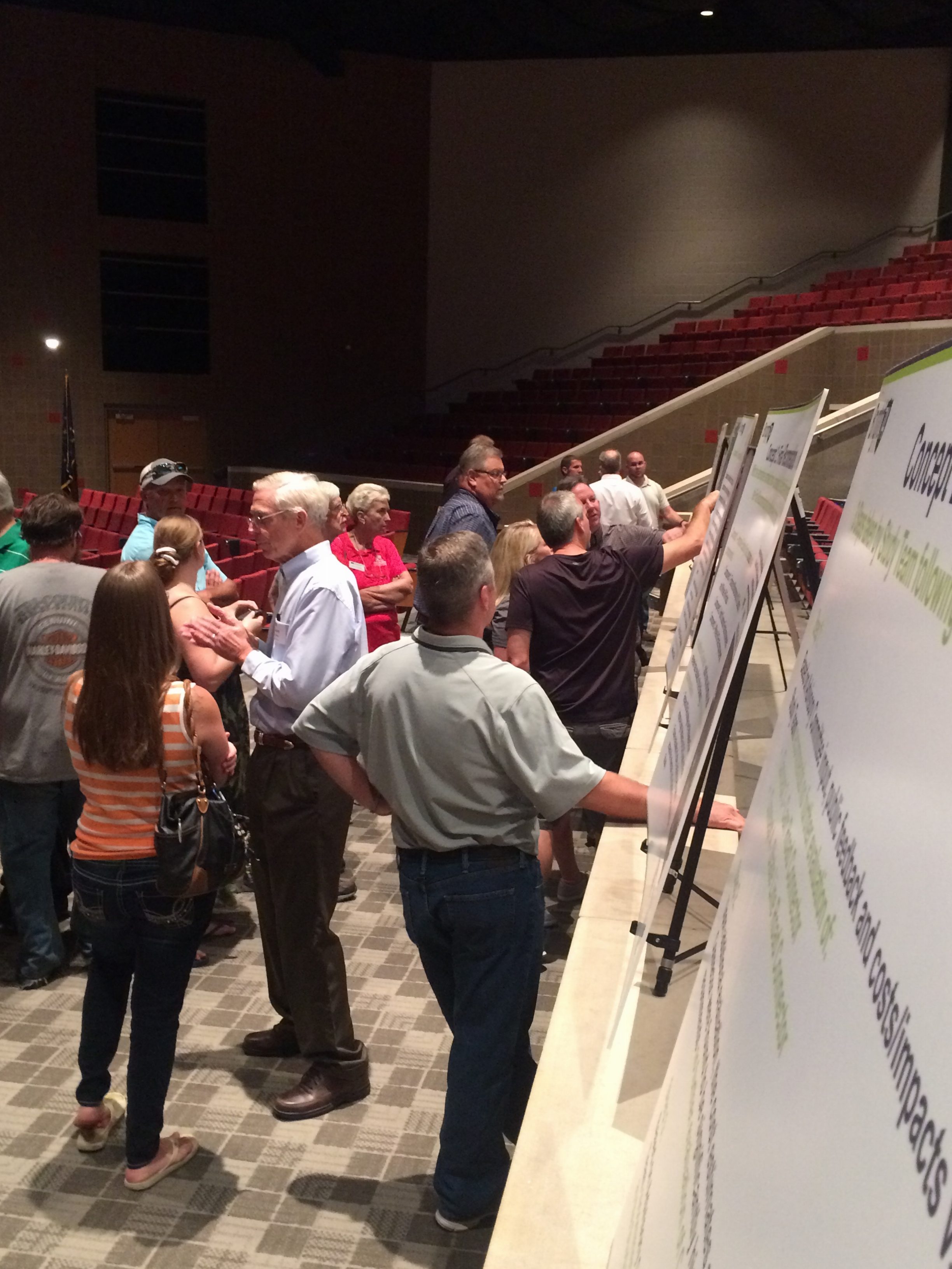
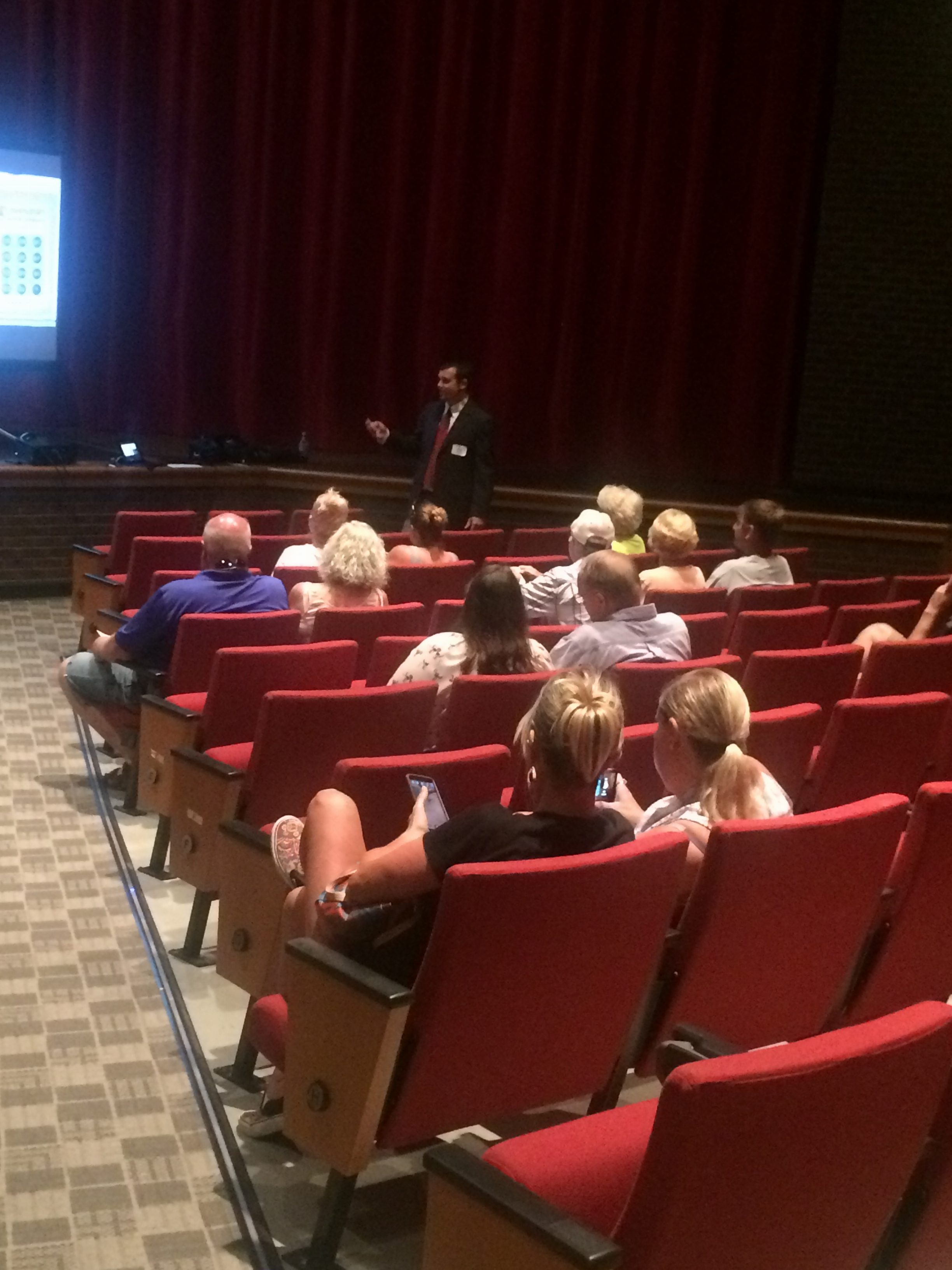
On Wednesday, September 22, 2016 from 4-7pm, a Public Open House was held at East Central High School’s Performing Arts Center. This event was the last in a series of three public involvement meetings planned for this year as part of the Bright 74 Study. The purpose of this final meeting was to gather input from those who know the area best — residents and property owners, as well as others who frequently travel to, from or through the Bright Area. The Public Open House kicked-off the start of the Study’s final, 30-day public comment period. The information shared at the Open House and on this page is being presented to gather public input on the Study recommendations. Links to every Open House exhibit are provided below by clicking the green text.
PUBLIC OPEN HOUSE EXHIBITS
- Scope and Timeline
- Study Area Map
- Study Purpose and Goals
- Phase 2 Public Feedback Summary
- Concept Evaluation Steps
- Overview of Final Recommendations
- Concept 1: Component 1 – Enhanced Maintenance of North Dearborn and Whites Hill Roads
- Concept 1: Component 2 – North Dearborn Road Improvements
- Concept 1: Component 3 – Whites Hill Road Improvements
- Other General Recommendations: SR 46 and US 52
- Other General Recommendations: Future Evaluation of Other Existing Roads Used to Access theInterstate, Not Included in the Scope of This Study
- Final Recommendations: Cost and Impact Estimates
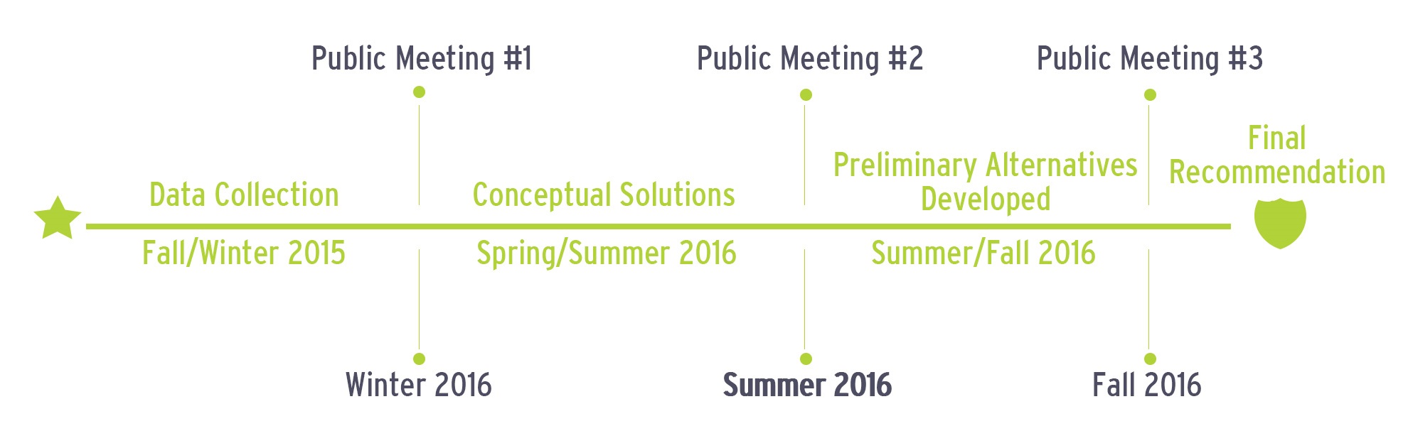
TIMELINE